The Calderdale boundary, Halifax Road (A629)
Introduction
The photograph on this page of The Calderdale boundary, Halifax Road (A629) by Humphrey Bolton as part of the Geograph project.
The Geograph project started in 2005 with the aim of publishing, organising and preserving representative images for every square kilometre of Great Britain, Ireland and the Isle of Man.

There are currently over 7.5m images from over 14,400 individuals and you can help contribute to the project by visiting https://www.geograph.org.uk
The Calderdale boundary, Halifax Road (A629)
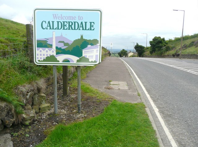
Image: © Humphrey Bolton Taken: 26 Aug 2010
Exactly on the watershed between Airedale and Calderdale. Next to the wall opposite the sign there is a defaced boundary stone where Ovenden (Halifax), Thornton and Denholme meet. For a close view of the stone see Image
Images are licensed for reuse under creativecommons.org/licenses/by-sa/2.0
Image Location


Leaflet Map data © OpenStreetMap
Latitude
53.780685
Longitude
-1.896769