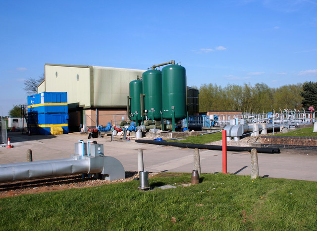
Grimsbury Water Treatment Works
Introduction
The photograph on this page of Grimsbury Water Treatment Works by Des Blenkinsopp as part of the Geograph project.
The Geograph project started in 2005 with the aim of publishing, organising and preserving representative images for every square kilometre of Great Britain, Ireland and the Isle of Man.
There are currently over 7.5m images from over 14,400 individuals and you can help contribute to the project by visiting https://www.geograph.org.uk

Image: © Des Blenkinsopp Taken: 27 Apr 2010
Part of Thames Water's treatment site. The stainless steel cylinder in the foreground is a tipping bucket rain gauge providing real time rainfall intensity data via telemetry. It is operated by the Environment Agency, and the data is also used by the Met. Office. The copper cylinder next to it is a check gauge which is read manually every month just to check that the automatic readings tally. I have no idea what the big green tanks do,

