Valley below King's Farm
Introduction
The photograph on this page of Valley below King's Farm by Derek Harper as part of the Geograph project.
The Geograph project started in 2005 with the aim of publishing, organising and preserving representative images for every square kilometre of Great Britain, Ireland and the Isle of Man.

There are currently over 7.5m images from over 14,400 individuals and you can help contribute to the project by visiting https://www.geograph.org.uk
Valley below King's Farm
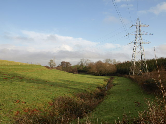
Image: © Derek Harper Taken: 16 Jan 2010
From the lane shown in Image, looking downstream towards where the same valley is crossed by Image Just discernible through the trees above the stream are the houses shown in Image
Images are licensed for reuse under creativecommons.org/licenses/by-sa/2.0
Image Location


Leaflet Map data © OpenStreetMap
Latitude
51.073014
Longitude
-3.035623