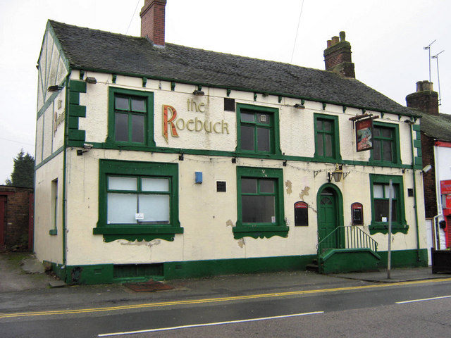
The Roebuck
Introduction
The photograph on this page of The Roebuck by Jonathan Kington as part of the Geograph project.
The Geograph project started in 2005 with the aim of publishing, organising and preserving representative images for every square kilometre of Great Britain, Ireland and the Isle of Man.
There are currently over 7.5m images from over 14,400 individuals and you can help contribute to the project by visiting https://www.geograph.org.uk

Image: © Jonathan Kington Taken: 19 Jan 2010
This pub has been closed for some time now, it is unknown whether it will open again. It has been here a long time, whilst researching some history for another photograph I discovered that the Roebuck was named on maps dating from 1876; so it will be a shame if it is lost through neglect or other means.

