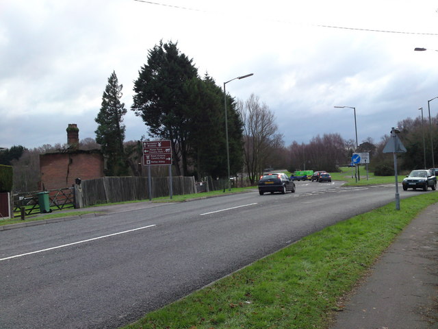
Approaching Windhover roundabout
Introduction
The photograph on this page of Approaching Windhover roundabout by dinglefoot as part of the Geograph project.
The Geograph project started in 2005 with the aim of publishing, organising and preserving representative images for every square kilometre of Great Britain, Ireland and the Isle of Man.
There are currently over 7.5m images from over 14,400 individuals and you can help contribute to the project by visiting https://www.geograph.org.uk

Image: © dinglefoot Taken: 31 Dec 2009
Approaching Windhover roundabout from West End Road /Kanes Hill. The Windhover is a huge roundabout that at one time was part of a huge house garden, with many ornamental trees and bushes still there. The derelict house in this photo has been like this since WW2. It has suffered bomb damage, you can see a huge crack down the wall. The story goes, that at the time it was being used as an agricultural building, as the whole area was strawberry fields. An argument arose over compensation that the owners did not win, so it's still in the sorry state 65 years later!

