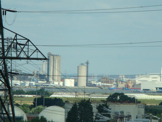
View from the Kent side of the QEII Bridge #3
Introduction
The photograph on this page of View from the Kent side of the QEII Bridge #3 by Robert Lamb as part of the Geograph project.
The Geograph project started in 2005 with the aim of publishing, organising and preserving representative images for every square kilometre of Great Britain, Ireland and the Isle of Man.
There are currently over 7.5m images from over 14,400 individuals and you can help contribute to the project by visiting https://www.geograph.org.uk

Image: © Robert Lamb Taken: 18 Jul 2009
A little downstream from the QEII Bridge, the river course curves sharply, allowing travellers on the bridge to see across to the Essex bank for the first time since the beginning of the bridge in Thurrock. Another power station is visible just below the arm of the pylon, and many ports and docksides near the Wennington Marshes can be seen. View taken from the same lookout as http://www.geograph.org.uk/photo/1428628 but again, taken from further along the QEII Bridge towards the toll booths.

