Landing at Inverness
Introduction
The photograph on this page of Landing at Inverness by don cload as part of the Geograph project.
The Geograph project started in 2005 with the aim of publishing, organising and preserving representative images for every square kilometre of Great Britain, Ireland and the Isle of Man.

There are currently over 7.5m images from over 14,400 individuals and you can help contribute to the project by visiting https://www.geograph.org.uk
Landing at Inverness
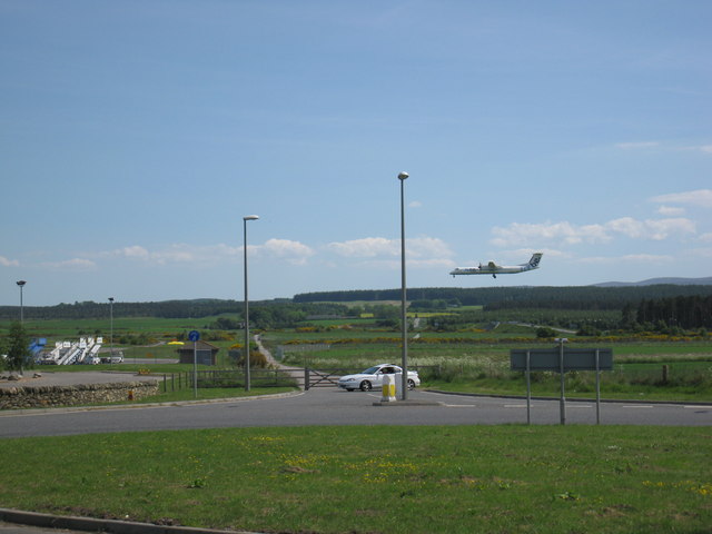
Image: © don cload Taken: 31 May 2009
From this roundabout the gated road is the original road that went past the end of the runway at Inverness Airport. Traffic on this road was stopped by traffic lights when planes were landing. This road has been closed and a new semicircular shaped road takes the traffic further away from the end of the runway.
Images are licensed for reuse under creativecommons.org/licenses/by-sa/2.0
Image Location


Leaflet Map data © OpenStreetMap
Latitude
57.53816
Longitude
-4.064478