Barfad
Introduction
The photograph on this page of Barfad by David Baird as part of the Geograph project.
The Geograph project started in 2005 with the aim of publishing, organising and preserving representative images for every square kilometre of Great Britain, Ireland and the Isle of Man.

There are currently over 7.5m images from over 14,400 individuals and you can help contribute to the project by visiting https://www.geograph.org.uk
Barfad
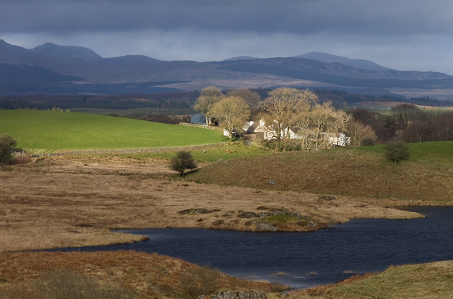
Image: © David Baird Taken: 25 Mar 2009
Barfad (Gaelic barr fada - long height) seen across the north end of Barfad Loch, with the Galloway Hills in the distance (Curleywee on the left hand horizon, Millfore and Drigmorn to the right).
Images are licensed for reuse under creativecommons.org/licenses/by-sa/2.0
Image Location


Leaflet Map data © OpenStreetMap
Latitude
54.965221
Longitude
-4.615476